Data alone doesn’t change nations, decisions do. And in 2026, Malaysia is proving that the smartest decisions begin with understanding where things happen. At GeoInnovation Malaysia 2026, geospatial intelligence stepped out of the background and into the spotlight, showing how digital innovation translates into real operational impact across the country.
Turning Spatial Data Into National Advantage
Anchored by the theme “From Innovation to Impact: Driving Operational Excellence Through Geospatial Intelligence,” GeoInnovation Malaysia 2026 brought together leaders from government, utilities, infrastructure and national agencies to showcase how Geographic Information System (GIS) technology has evolved from a planning tool into a mission-critical engine for execution.
As Malaysia accelerates its digital economy agenda, with ICT and e-commerce contributing over RM451 billion to the economy, spatial intelligence is increasingly becoming the connective tissue linking assets, people, risks and services into a single operational view.
When GIS Moves Beyond Maps
What set GeoInnovation Malaysia 2026 apart was its emphasis on evidence. Award-winning projects demonstrated tangible outcomes: reduced processing times, cost savings, improved coordination and clearer accountability.
From digitised land inspections to integrated municipal platforms, GIS is no longer a “nice-to-have.” It is now embedded directly into daily workflows, governance structures and performance management systems, where decisions are made and services are delivered.
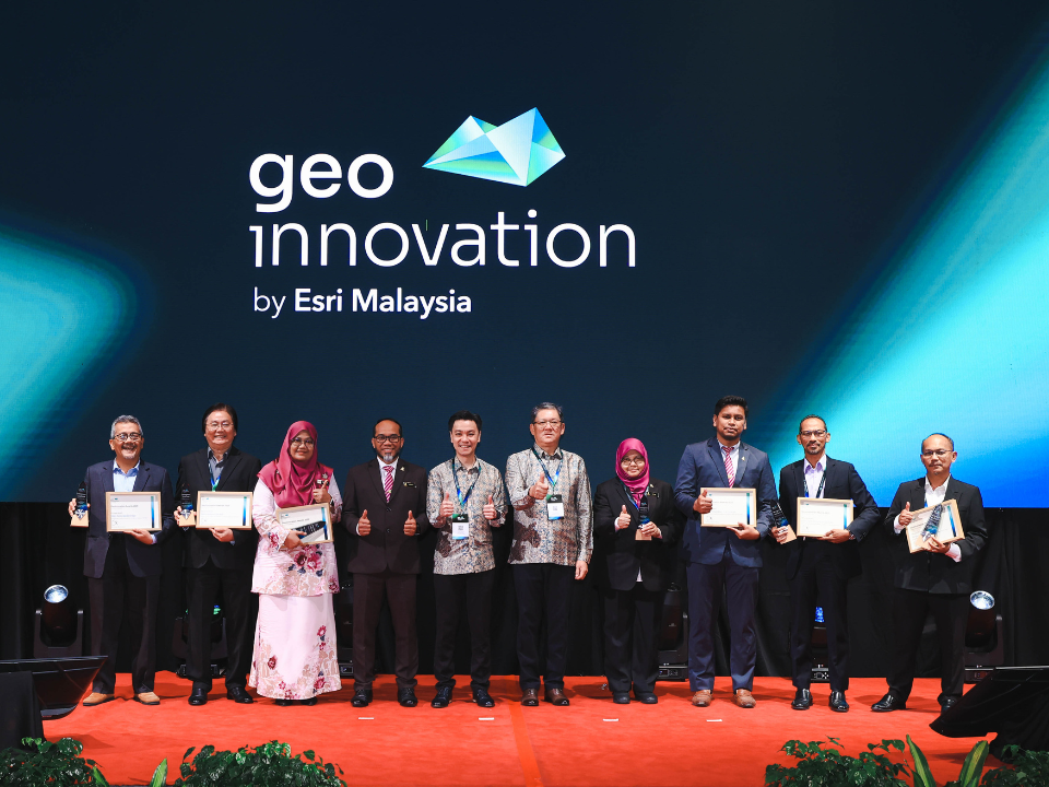
Award Winners Setting The Benchmark
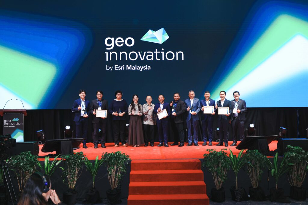
The event recognised ten organisations whose GIS initiatives delivered measurable impact across sectors.
Rising Star Award recipients highlighted early but high-potential innovation, while Pinnacle Award winners showcased mature implementations already reshaping operations. Looking from Gamuda Engineering’s enterprise-wide spatial foundation to Tenaga Nasional Berhad’s location-enabled field workflows, the winners reflected how GIS is scaling from project-level use to enterprise and national systems.
Notably, Pusat Geospatial Negara (PGN) demonstrated how whole-of-government collaboration improves when agencies share a unified spatial framework, strengthening planning, transparency and public-sector performance.
Why GeoInnovation Malaysia 2026 Matters Now
With smart city adoption accelerating and local authorities increasingly recognised under national frameworks, GeoInnovation Malaysia 2026 arrived at a critical moment. The event reinforced a simple but powerful truth: digital transformation only succeeds when technology delivers results people can see, measure and trust.
By spotlighting what works (not just what’s new) GeoInnovation Malaysia 2026 positions GIS as a practical bridge between Malaysia’s digital ambitions and outcomes on the ground.
As organisations chart their next phase of transformation, the message from GeoInnovation Malaysia 2026 is clear: the future belongs to those who can turn location into insight, and insight into action.